Bronchitis Early Warning System
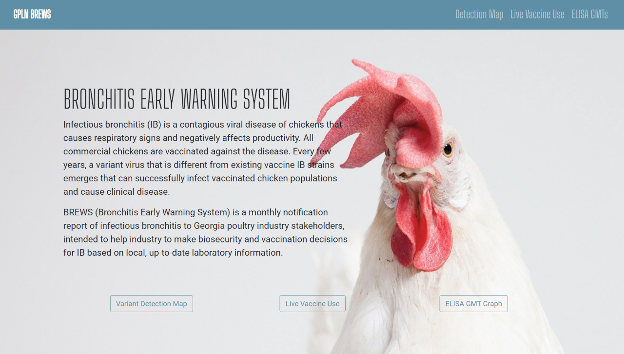
Developed for the Georgia Poultry Laboratory Network and as my practicum project for the UW-Madison Master's in Cartography and GIS, this web-based report uses interactive maps and charts to provide key information on infectious bronchitis in Georgia's commercial poultry flocks. This project brought a static GPLN report that's been informing decision-makers for over a decade into an online platform able to reach a wider audience. Fully open-source, the interactives for this project are built on Leaflet and Chart.JS.
Sea to Cascades Bike Race
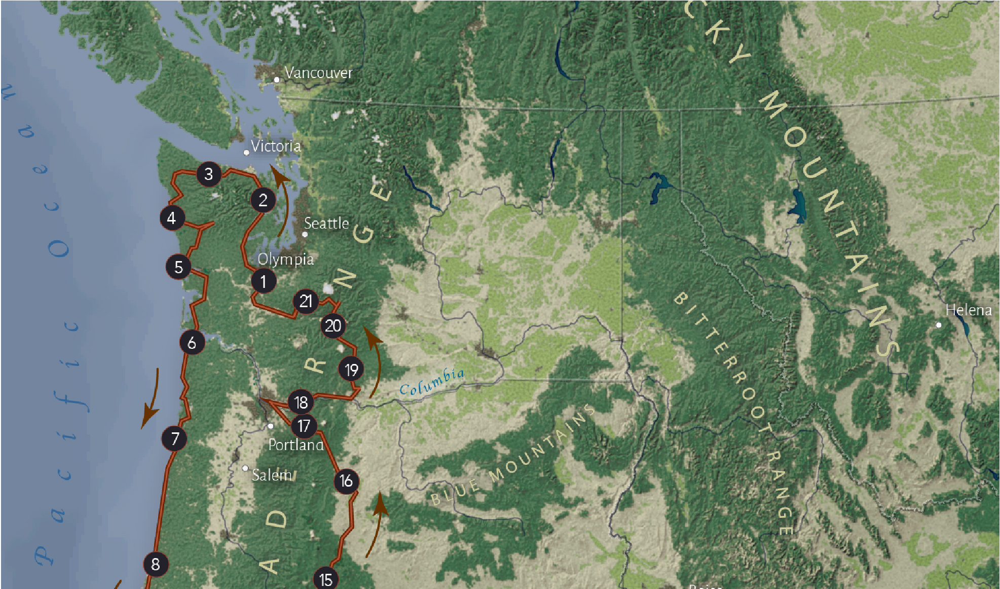
This static map of a fictional bike race was made as a terrain visualization project. Miles of Pacific coastline and scenic Cascade vistas await!
Wisconsin Cancer Analysis
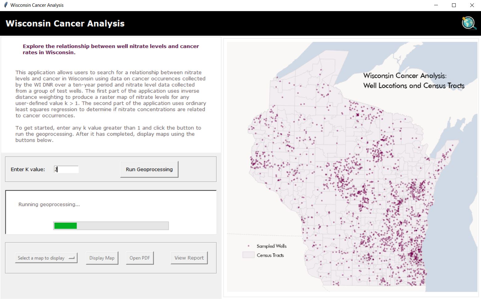
This desktop app was developed using Python to analyze the relationship of cancer rates in Wisconsin to drinking well nitrate levels.
Sable Island Seals
See the movements of tagged seals as they traveled the ocean surrounding Sable Island in this interactive web map. This team project was created with Laura Smith


